
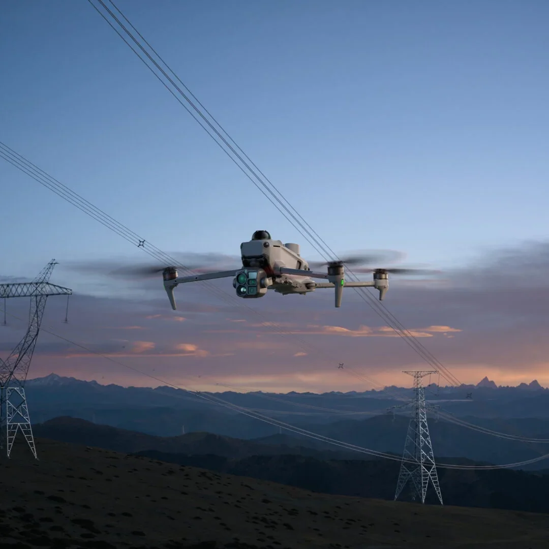
The New DJI Matrice 5T - Always in Its Element
DJI Matrice 5T integrates LiDAR, mmWave radar, and vision sensing with IP55 rating, excelling in emergency response, inspection, and surveying even in harsh environments. 1K thermal and enhanced night vision reveal detail day and night. Up to 59-min flight time and relay modes extend reach, while open onboard AI and Pilot 2 plugin support power smart on-site workflows.
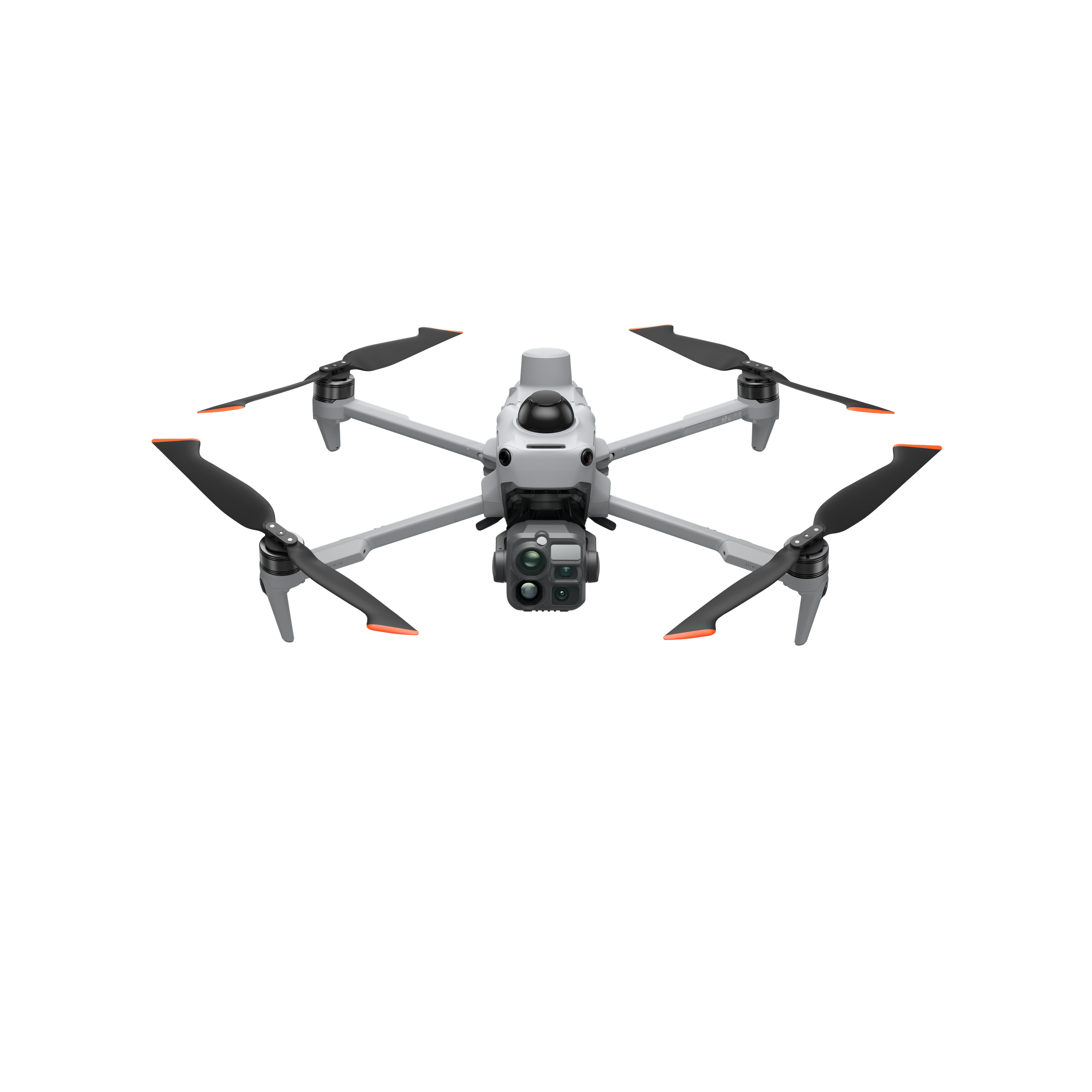
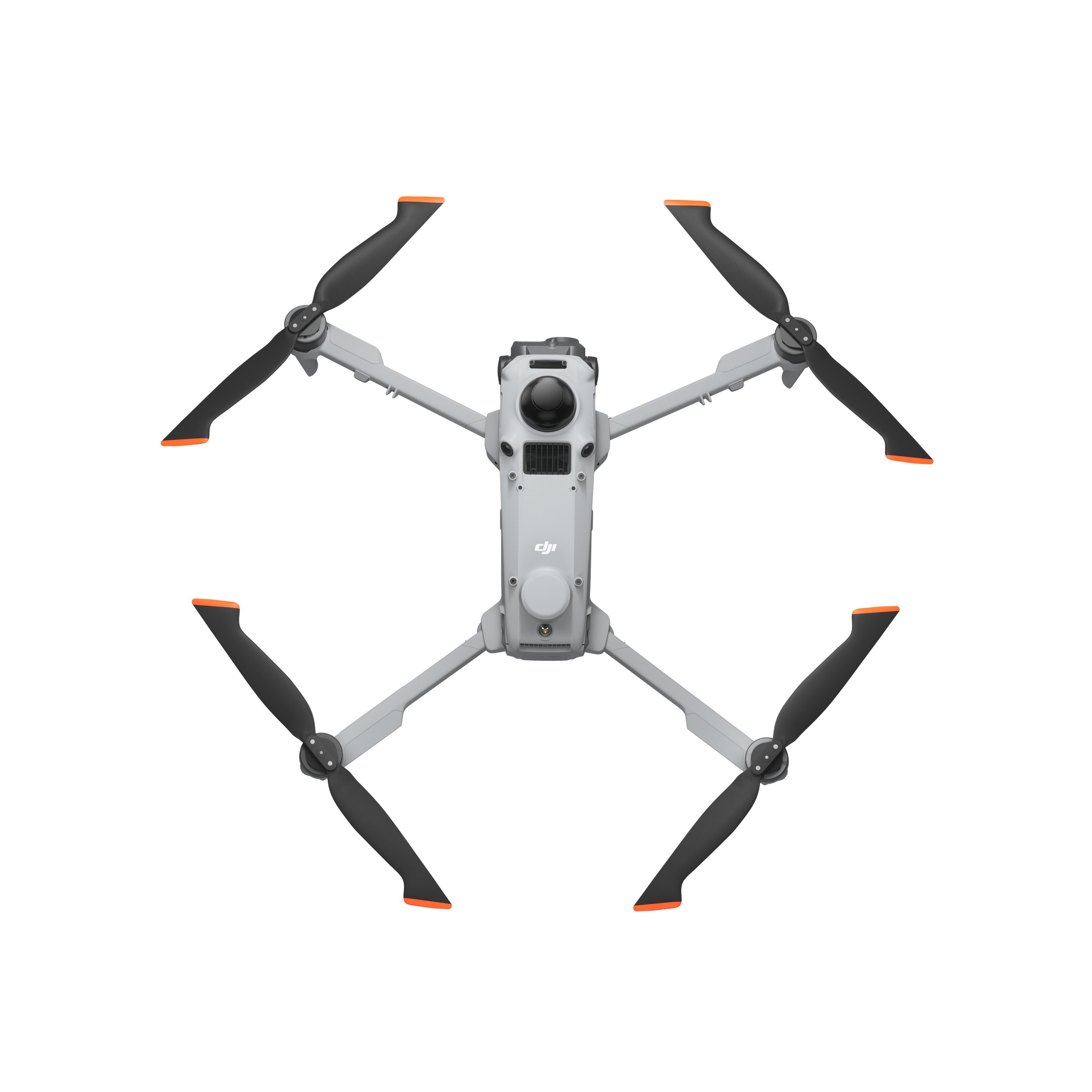
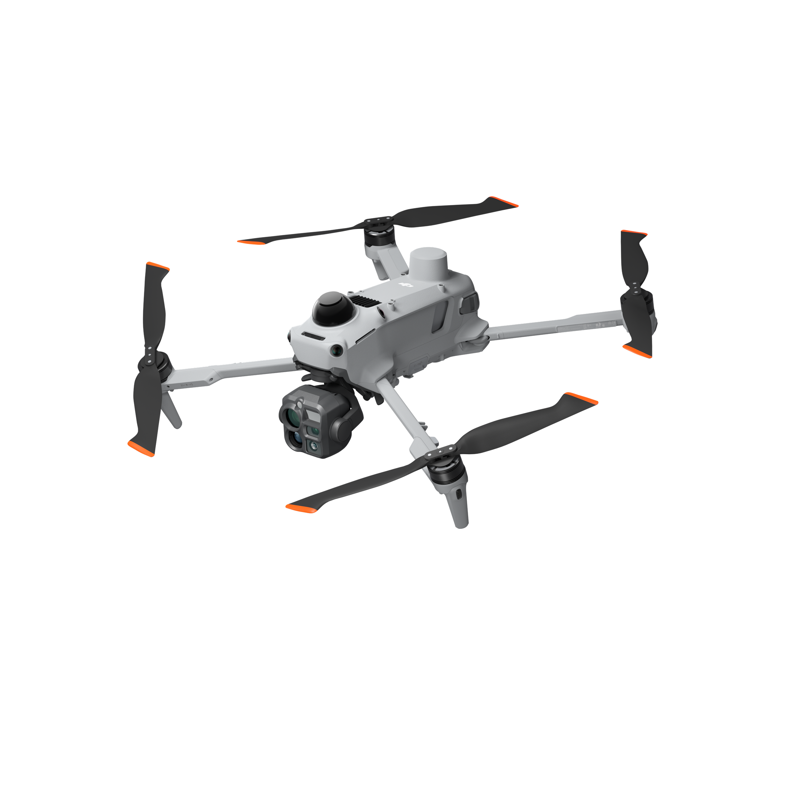
Camera
Wide: 1/0.98-inch CMOS, Effective Pixels: 50 MP
7x Tele Camera : 48MP, 1/1.5” CMOS sensor, aperture f/2.8
Wide Camera
20 MP, 4/3'' CMOS sensor
Laser Rangefinder
Gives the precise coordinates of objects
Measurement Range : 1800 m (1 Hz) @20% reflectivity target*
Distance Measurement Accuracy : 1-3 m: System Error <0.3 m, Random Error <0.1 meters @1σ
Smarter Operations with AI Power


The built-in AI model will detect vehicles, vessels, and subjects during search and rescue operations or routine flights. Aside from that, it supports high-res grid photos and powerful tracking capabilities. It also supports switching to other models, enabling the expansion of AI application scenarios.
Rapid 0.5 second Interval Shooting
The Matrice 4E wide-angle camera supports rapid 0.5-second interval shooting, both in orthophoto and oblique photography modes. This enable for high-speed aerial surveying from multiple angles. Aside from that, the mapping flight speed can reach up to 21 meters per second, significantly enhancing work efficiency.
3-Directional Ortho Capture
Matrice 4E supports 3-directional ortho capture, enabling lateral capturing while performing ortho collection tasks, which reduces lateral overlap. No additional elevation optimization flight route is required to achieve better elevation accuracy. A single flight can complete mapping operations for an area of 2.8 square kilometers.

Smart 3D Capture

DJI Matrice 4E supports Smart 3D Capture, which allows you to capture and create a rough model on the remote controller. Based on the rough model, it can quickly generate precise mapping routes close to a structures surface.
It also supports displaying virtual space routes and waypoint photos for smart 3D capture, making it convenient to assess specific routes' flight safety and coverage area.


