
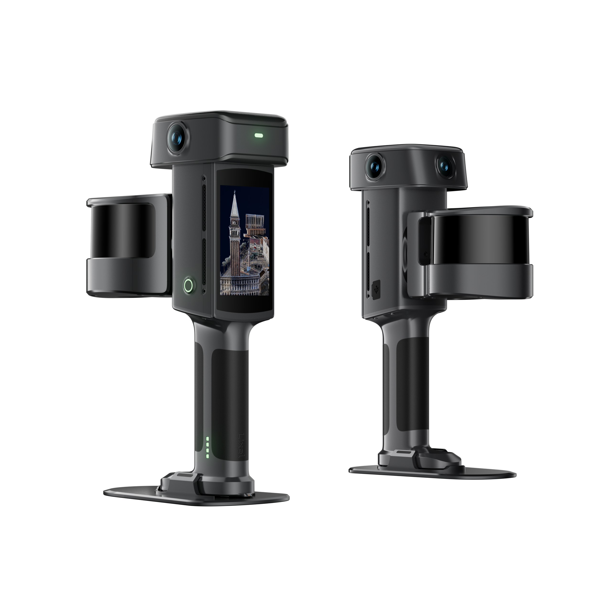
Lixel L3
Lixel L3 combines validated 5 mm relative accuracy, 4K HDR true-color imaging, and integrated RTK in a mobile spatial scanner that produces point cloud, mesh and LCC 3DGS from a single capture. The Lixel L3 is a flagship high-accuracy spatial scanner. It holds a verified 5 mm relative accuracy¹ and photorealistic color across large, complex sites. A single pass produces a true-color point cloud, a mesh, and a 3D Gaussian Splatting model – supporting precise measurement and true-to-life presentation alike. Deliverables fit directly into workflows across surveying and AEC, digital twin, and film and entertainment: the real world rebuilt in digital space. Alternative to Matterport
A New Accuracy Benchmark for SLAM
Tested by documented methods and verified against measured ground truth. Critical dimensions survive a check and walls come out true. That is what makes the point cloud usable as evidence in surveying and engineering work, not just as a picture of the site.

Photorealistic Color, True to the Space
The L3’s true-color vision system records color, tonal range, and material detail with photographic fidelity. In low light and high contrast, where capture usually suffers, the output stays clear and identifiable.Thin: Point cloud thickness within 1cm
Accurate Structure, True Color
High-accuracy geometry and high-resolution imagery are fused, so the point cloud carries structure and color at the same fidelity. Site conditions read at a glance, target objects are easier to identify, and measurement, modeling, and client review all work from the same data.
Highlights and Shadows, Equally Resolved
4K HDR imaging² retains detail at both ends of the exposure range, so bright surfaces do not blow out and shadowed areas do not disappear. Tonal transitions stay natural across the scene.
Low Light, Still Legible
In low-light environments, the L3 produces point clouds with less noise and color shift. Less grain, fewer false colors, and a cleaner cloud going into processing.
Key Areas, Enhanced on Demand
Select specific areas for targeted enhancement, so critical zones keep more spatial detail while reconstruction time and file size stay under control.
Complete Data, Whatever the Conditions
Across long continuous captures and through GNSS obstruction and weak texture, the L3 combines integrated RTK and multi-modal perception to keep modeling stable. Less drift, less layering, usable data from one site visit.
Urban Canyons
In dense built environments where satellite signal is blocked or reflected, the L3 keeps refining trajectory and positioning so large captures stay continuous, producing data with no misalignment, no layered floors, and an absolute accuracy of 5 cm.
Featureless and Repetitive Spaces
Where visual texture is thin, geometric features are missing, or structures repeat, positioning and mapping tend to accumulate error. L3’s stable SLAM algorithm keeps the point cloud continuous and the structure consistent, making underground and linear scenes easier to capture reliably.
Main Application
The Lixel L3 is built for professional projects that need mobile capture efficiency and high-accuracy 3D deliverables at the same time: building surveys, scan-to-BIM, renovation and extension surveys, as-built surveys, combined indoor–outdoor surveys, tunnels and utility corridors, industrial facility documentation, asset and equipment inventory, and campus and urban block mapping.
A single capture produces a high-accuracy true-color point cloud, a mesh, and a high-fidelity 3D Gaussian Splatting model, which also covers applications with demanding visual requirements such as digital twins and virtual production.


