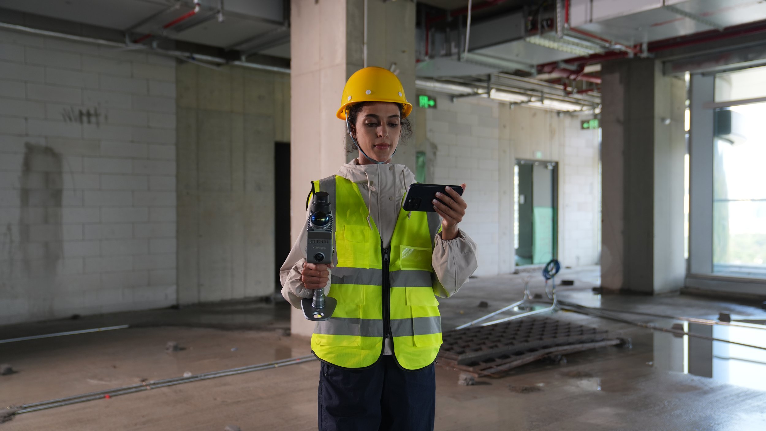
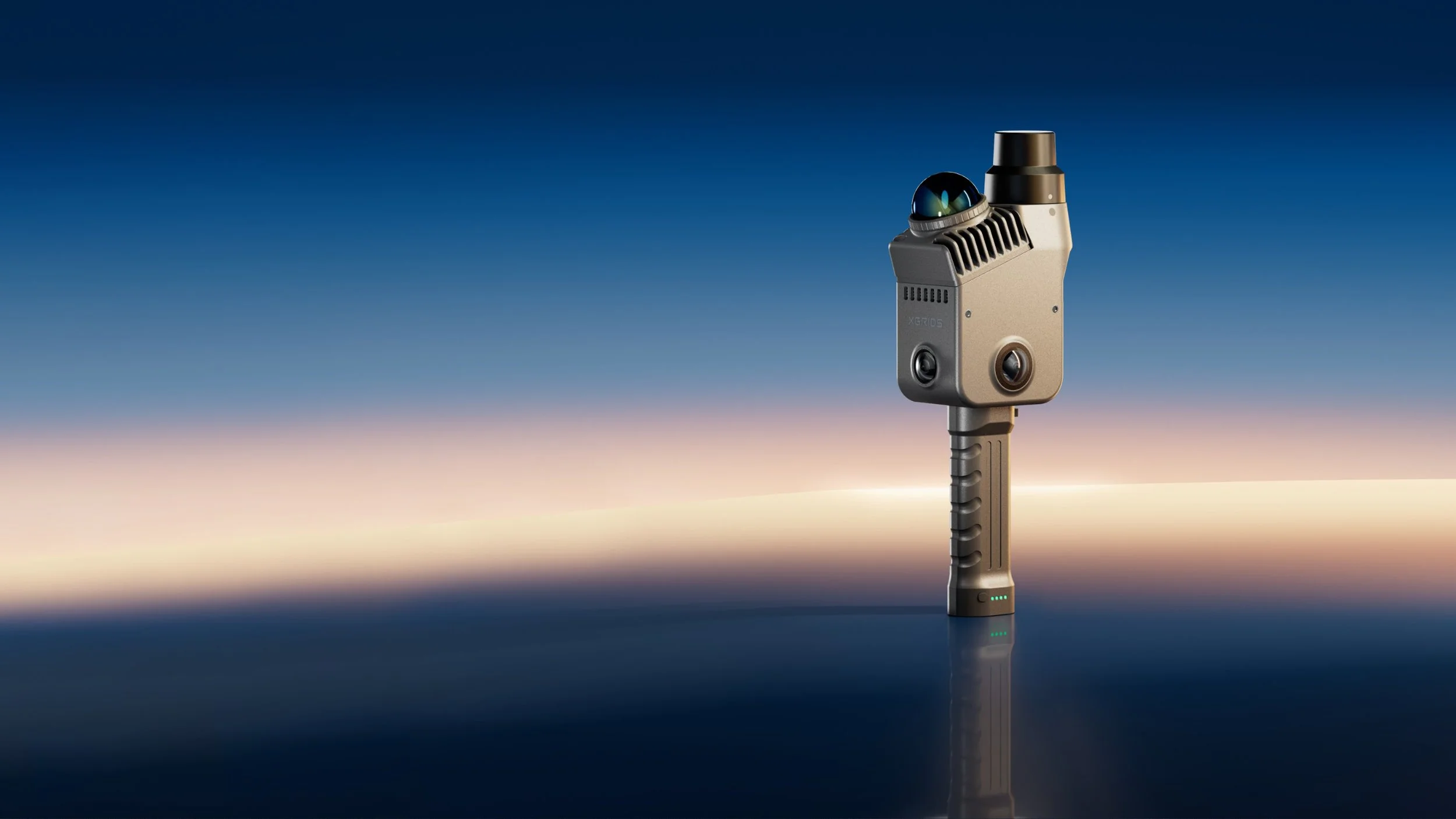
Lixel K2
Introducing Lixel K2, a lightweight, efficient spatial capture device designed to:
Deliver reliable, measurement-ready data (up to 1 cm accuracy)
Maintain thin, clean point cloud structures (~1 cm thickness)
Capture real-world environments with both structural clarity and visual detail
Support flexible outputs for multi-scenario project needs
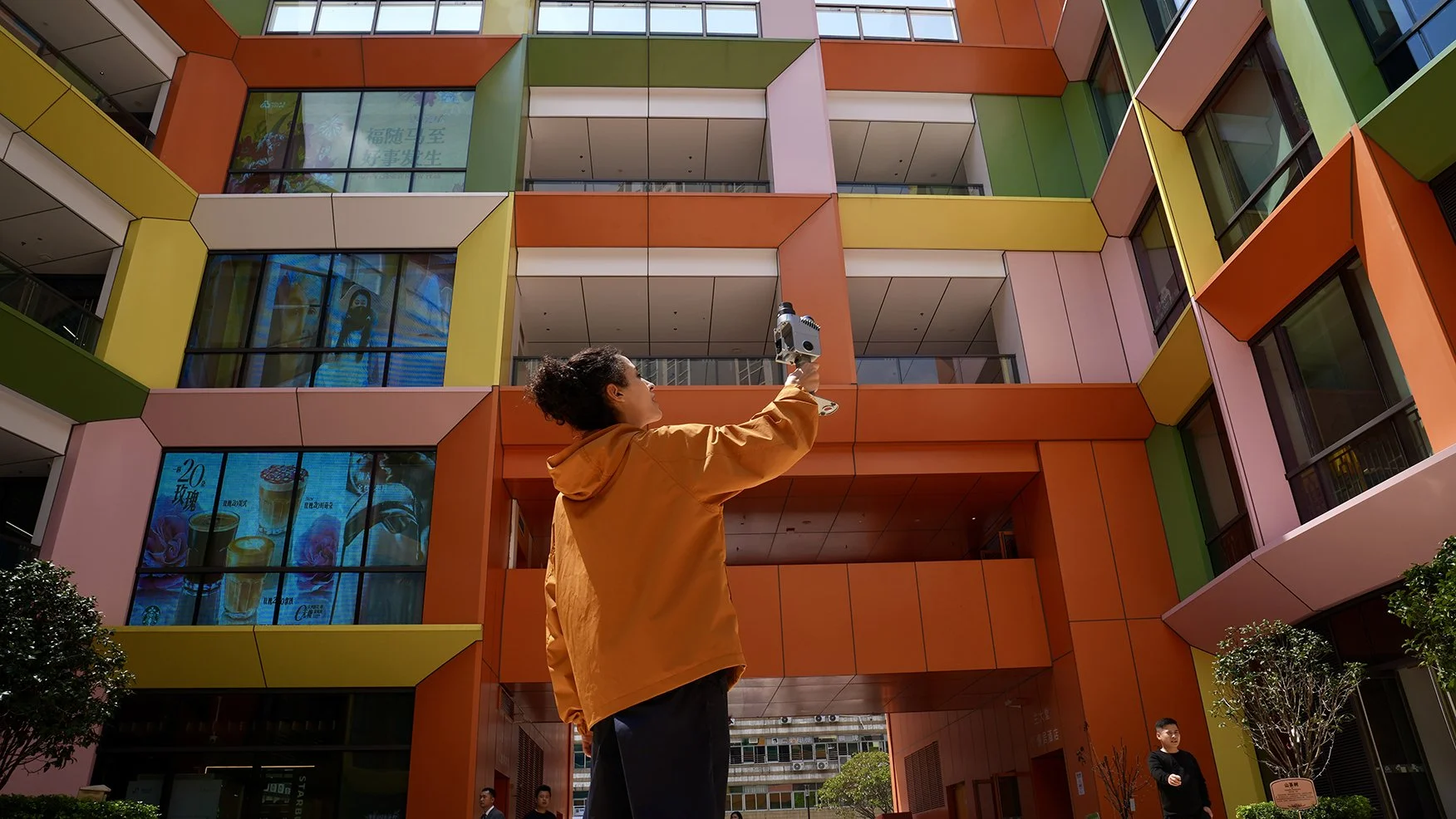
Real Product Image

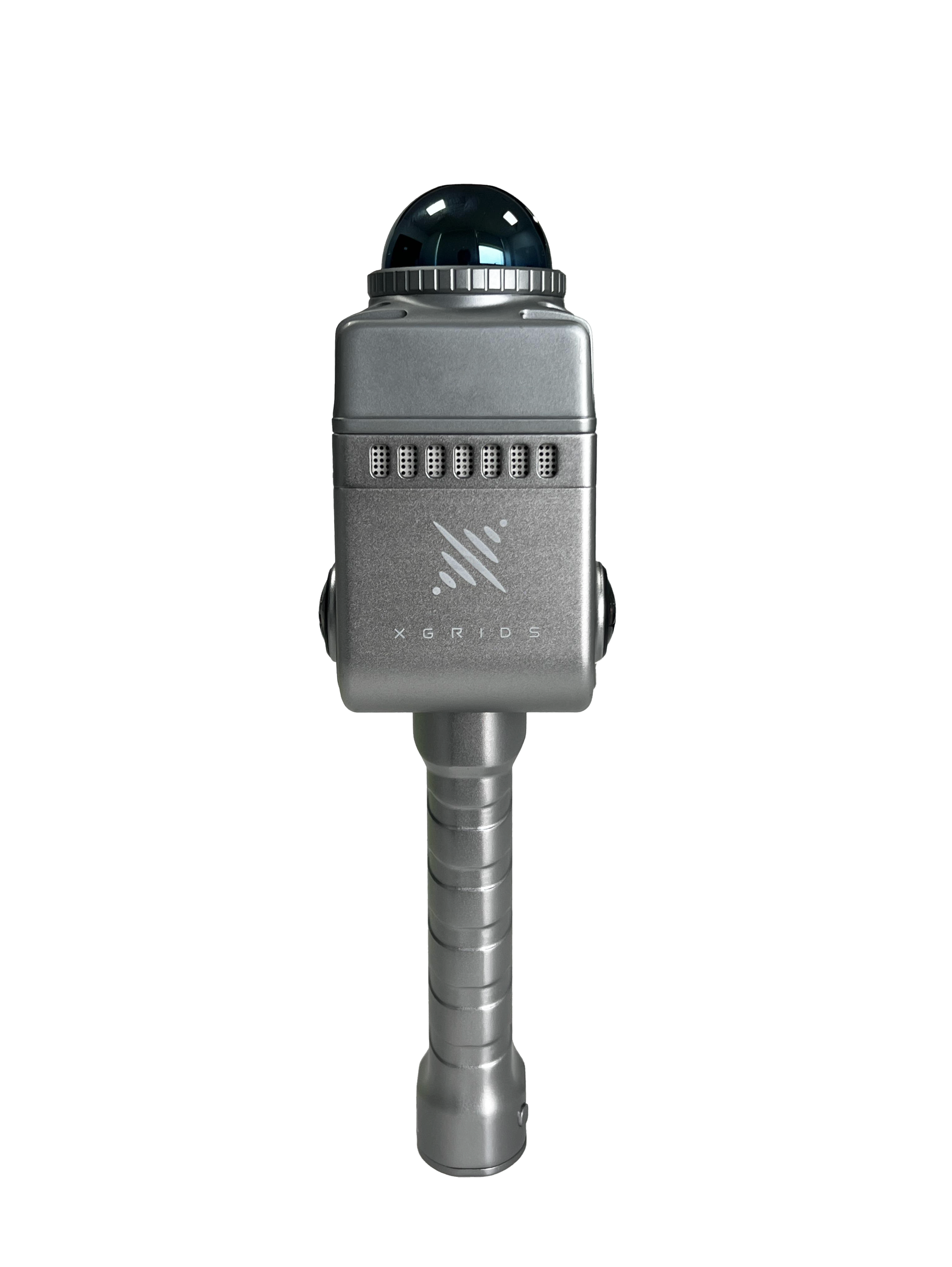

Scenes Versatility
Real-time point cloud for measurement and drafting
Point clouds generate as you scan, ready to share remotely.
Immersive spatial model: LixelCyberColor
One format across the full 3DGS pipeline — capture, generate, edit, deploy.Revolutionary 3DGS+SLAM Algorithms
Multi-Source Data Fusion. Map Fusion, Aerial Reconstruction, Aerial-ground Map FusionStructured 3D models: Mesh
Editable, structured 3D models, generated fast — ready for professional workflows.