
DJI TERRA
Make the World Your Digital Asset

DJI Terra is 3D model reconstruction software that has photogrammetry as its core technology. It supports a range of accurate and efficient 2D and 3D reconstruction of visible light, and data processing through DJI LiDAR. DJI Terra is a perfect match for DJI Enterprise drones and payloads. It works in conjunction to build a complete application solution that caters to verticals such as land surveying and mapping, power transmission, emergency services, construction, transportation, and agriculture.
Area Mapping

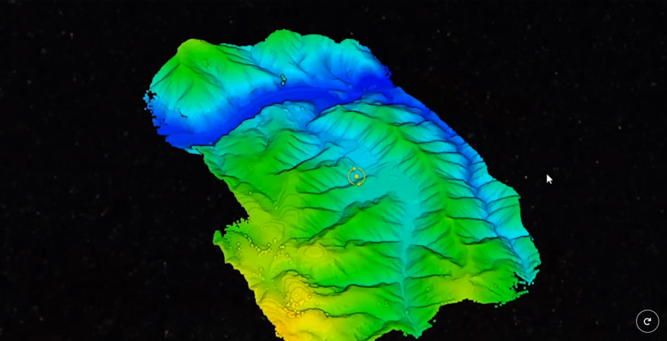
3D Models
Realistic 3D models can be generated in three resolutions—high, medium and low. Water surfaces in the model are automatically optimized through AI technology, and the formats commonly used in the industry are exported for image reconstruction in diverse scenarios, such as surveying and mapping, accident sites, power grid equipment, and progress-tracking for construction projects.
Accuracy
Centimeter-level accuracy6
Efficiency
30,000 photos/3 days4 (single computer)
30,000 photos/21 hours5 (cluster processing)
Scale
400 photos/1GB 2 (single computer)
6,000 photos/1GB3
(cluster processing)

2D Maps
The algorithm is optimized according to the different scenarios to significantly improve processing efficiency, effectively avoid image warping and deformation, and obtain detailed and accurate measurement results for all your target objects and survey areas.
Scale
400 photos/1GB2 (single computer)
6,000 photos/1GB 3 (cluster processing)
Efficiency
5,000 photos/2 hours7 (single computer)
5,000 photos/80 minutes8 (cluster processing)
Accuracy
Centimeter-level accuracy
LiDAR
Multispectral
With just one click, you can perform highly accurate processing of the point cloud data captured by the Zenmuse LiDAR in DJI Terra, including route calculation, precise fusion of point cloud and visible light data, optimization of point cloud accuracy, ground point extraction, DEM generation, and mission report output.

Using multispectral data from DJI Mavic 3 Multispectral and P4 Multispectral, vegetation index maps including NDVI and NDRE can be produced to provide insight into plant growth and health, radiometric correction is supported and reflectance maps can be generated for remote sensing research. Prescription maps can be created for variable rate application using DJI’s Agras drones to improve crop yields while driving down costs.


